Since the 19th century, farmers have used primary remote sensing devices to observe crops from the air. These devices came in the form of balloons, which carried photographic cameras and other instruments over the fields to identify and monitor crop conditions.
Since then this technology has drastically improved. Farmers use modern remote sensing devices which can provide a much better overview of crops in real time.
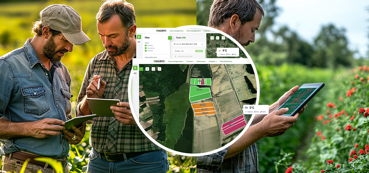
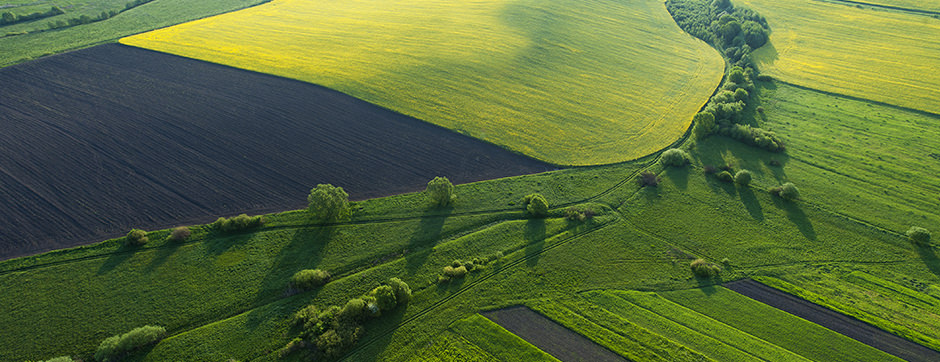
Remote sensing in agriculture is a technique used for obtaining information about various soil and crop conditions from a distance. These sensors use variations of electromagnetic radiation (EMR) to identify landscape characteristics and crop conditions. Typical remote sensing technologies include satellites, airplanes, and drones (unmanned aerial vehicles).
Types of Remote Sensing Devices
Remote sensing devices differ in the following characteristics:
1. Sensor Type
Remote sensors can be active or passive. Active sensors emit their own electromagnetic radiation at a specific wavelength to the soil and crop. Based on the reflection back to the device, specific conditions can be measured. Passive sensors obtain measurements by using reflected or radiated energy from the sun.
2. Location of the Camera or the Sensor
The camera, or the sensor, on the remote sensing device can be located near the soil or at the distance. Depending on the location, a few types of images can be made:
- Close-range images, in which the camera is placed very near the soil or crop
- Aerial photography, in which the camera is mounted on the aircraft flying over a small area
- Space images, in which sensors are mounted on either a space shuttle or an artificial satellite to capture the digital images
Range of Electromagnetic Spectrum
Remote sensors can measure reflectance in different portions of the electromagnetic spectrum. In this regard, following remote sensor types are as follows:
- Optical remote sensing; operate in the visible, near infrared, middle infrared, and short-wave infrared portion of the electromagnetic spectrum (300nm to 3000nm)
- Thermal remote sensing; ranges in wavelength from the longest infrared rays, through the visible-light spectrum, to the shortest ultraviolet rays
- Microwave remote sensing; measures the reflected microwaves in the altitude of 1mm to 1m
How Do Remote Sensors Work?
Remote sensing devices measure the type and intensity of the light reflected or emitted from an object, such as soil or crop. The light is composed of different portions of electromagnetic (EM) radiation energy classified by wavelengths, or the distance from the peak of one wave to the peak of the next wave. Visible (VIS) wavelengths, or light seen as color by the human eye, only exist in a narrow range, from about 400 to 700 nanometers (nm). Below 400 nm wavelengths are considered to be short (including gamma, x-rays and ultraviolet) while anything above 700 nm are considered longer (including infra-red, microwaves and radio waves).
When emitting the light (from the sensor or the sun) to the plant, red and blue waves are absorbed, while green waves are reflected. This is the reason why plants look green. The amount of the reflected light varies depending on chlorophyll content in the leaves and plant health. For instance, healthy green leaves with a high amount of chlorophyll will reflect green light, while stressed or dried leaves will have lower reflectance.
Due to chlorophyll influence, sensors are able to measure any crop condition based on the reduction of green color. Measuring the difference in reflected light at various wavelengths of the EM spectrum, they are used to distinguish vegetation from soil and green and senescent vegetation, as well as vegetation species.
Additionally, in the visible spectrum, the low reflectance is related to the absorption associated to leaf green pigments such as chlorophyll. On the other hand, in invisible or near-infrared spectrum (750- 1100 nm), a reflectance is related to the internal structure of the leaves (size and shape of the cells and empty spaces). This helps farmers better determine vegetation indices.
By combining the reflectance in both visible and near-infrared spectrum, farmers are able to measure the NDVI (Normalized Difference Vegetation Index), or the health of vegetation by measuring crop biomass.
The NDVI is calculated using the reflectance of red and NIR wavelengths. This method is used because of the fact that red light (in the visible spectrum) is highly absorbed by the chlorophyll, while NIR light is highly reflected. Consequently, the NDVI indicates the relationship between these two wavelengths.
NDVI helps identify plant vigor within the field as well as areas of bare soil. The measured NDVI indicates values from -1.0 to +1.0. Soil NDVI indicates values within a range of 0,1-0,2 while the range for the crop canopy will measure 0,2-1,0. Negative values are reserved for water surfaces, such as lakes and rivers.
Remote Sensing Data Interpretation
The sensors used for remote sensing are devices capable of detecting and registering electromagnetic radiation within a certain range of the electromagnetic spectrum and generate information about the object. This information can be interpreted as an image, graphic, or through tables. Extracting data into an image, graphic or table, as well as its interpretation is what makes these sensors so useful.
While sensing the crop, sensors record the light reflectance from millions of spots on the ground using photodiodes, which convert light waves into electrical charges. After capturing the crop condition, remote sensing data is translated into an image.
The quality of the image depends on four main factors:
1) Spatial resolution; refers to the sensor pixel size, i.e. the smallest possible feature or area that a sensor can record as an individual unit. The pixel size depends on the distance between the sensor and the crop or soil. The larger the distance, the lower image resolution and larger pixel size (< 0,5 m). However, high-resolution images are preferable for capturing within-field crop variability.
2) Spectral resolution; refers to the number and width of the wavelengths recorded by the sensor. Sensors with many wavelengths can provide a better measurement of crop conditions.
3) Temporal resolution; refers to the time step between images. The sensor can measure the crop condition by capturing only one picture or many different pictures during a given period (a day or a week).
4) Radiometric resolution; refers to the sensor’s sensitivity in distinguishing differences in electromagnetic energy intensity. It affects the brightness of the image itself.
True Value of the Remote Sensing Technology
Plants are sensitive, therefore any environmental change leads to some kind of plant stress. Whether this stress is due to water or nitrogen deficiency or pest attack, if not noticed and managed in time, it can significantly limit crop productivity. The main indicators of crop stress include crop biomass, height, leaf area, contents of plant water, chlorophyll, and nitrogen.
To estimate the aforementioned parameters, farmers use remote sensing devices, which provide accurate information about crop condition and yield. Additionally, remote sensing is a non-destructive method of supporting plant growth and development monitoring. This modern agtech enables both mapping of crop characteristics over large spatial areas and tracking of changes in soil and crop conditions.
Remote sensing is the present and the future of farm management. The ability to record and map various crop conditions in real-time is something that can benefit farmers and enhance crop management. Yet, there are still many challenges that may be faced in regards to remote sensing. Although remote sensing devices are used to effectively identify, measure, and monitor crop conditions, there continues to be challenges in improving them.
Image sources: Google Sites || Crop Copter || The Berry & Associates || ACES || NDSU